
DTM.............................................Digital Terrain Model: is a digital representation of the terrain or a structure (gathered by scanning) that can then be utilised within CAD software to undertake design for further construction works. Most developments are based on a field DTM.
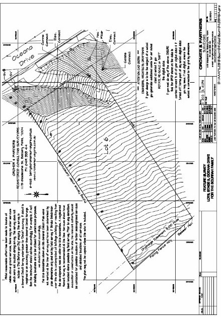
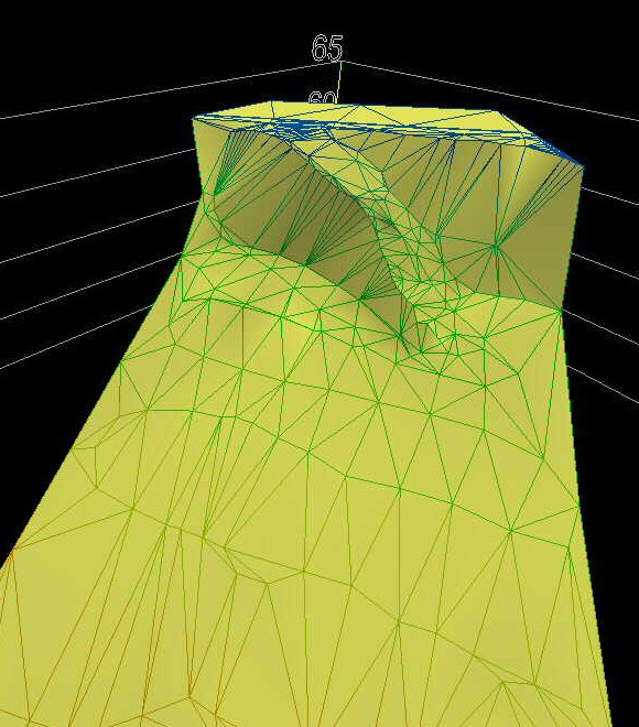
A DTM is the digital result of a field survey, making it possible for other associated consultants to process the field information. When viewing the examples to the right, the top image is the 'paper' result of the field work, whilst the bottom image is an image of the digital information that is provided to other consultants. Note the digital depiction of the driveway running down the embankment.
In simple terms, contours are created by 'solving' the triangles that are shown on the lower example; the sides of the triangle have a specific 'level' at their 'end' points which are then interpolated to create a contour at a 'contour interval' along the sides of the triangle.
